Woodland Grasshopper Omocestus rufipes

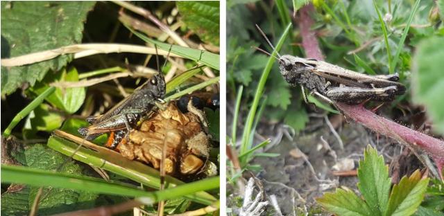
Woodland Grasshopper, male (left) and female (right). Photos R I Moyse.
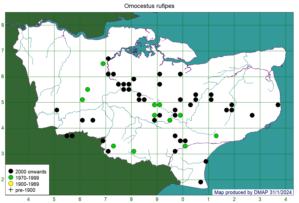
A Nationally Scarce species of open woodland, woodland rides and heathland. The females could be confused with Field Grasshopper or Common Green Grasshopper, but the males are a distinctive mahogany brown, with bright red on the abdomen and chalk-white palps. It has a strongly south-easterly distribution the Britain, but is widespread in Kent, with records from the Downs, the Greensand, and the High and Low Weald. It is by no means common, though the records suggest there is no cause for concern for this species, as more than half of all records are from 2000 onwards. It may still persist in many of the places it was previously recorded: visits to Longbeech Wood near Charing in 2022 and Covert Wood in 2023 found the species still present more than 35 years after the previous records for these sites. This species is often abundant at Hothfield Common, particularly close to the woodland edges.
Map showing records at tetrad (2km x 2km square) resolution. Colour of dot shows date-class of most recent record for that tetrad.
Common Green Grasshopper Omocestus viridulus

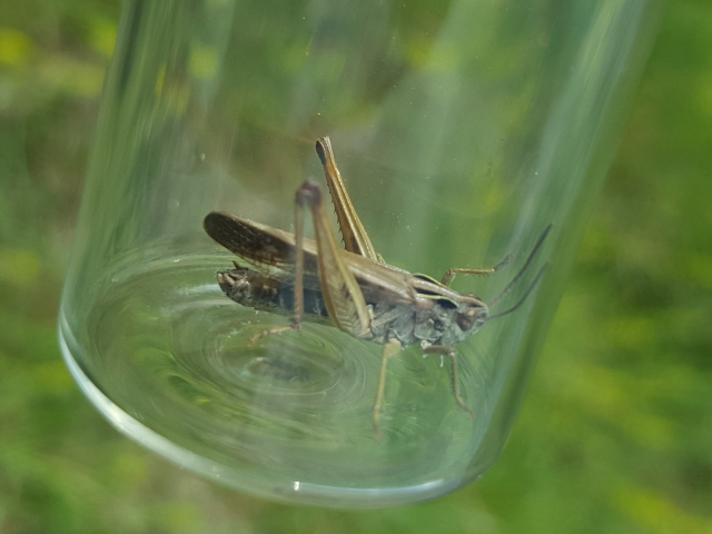
Common Green Grasshopper, male, brown form. Photo R I Moyse.
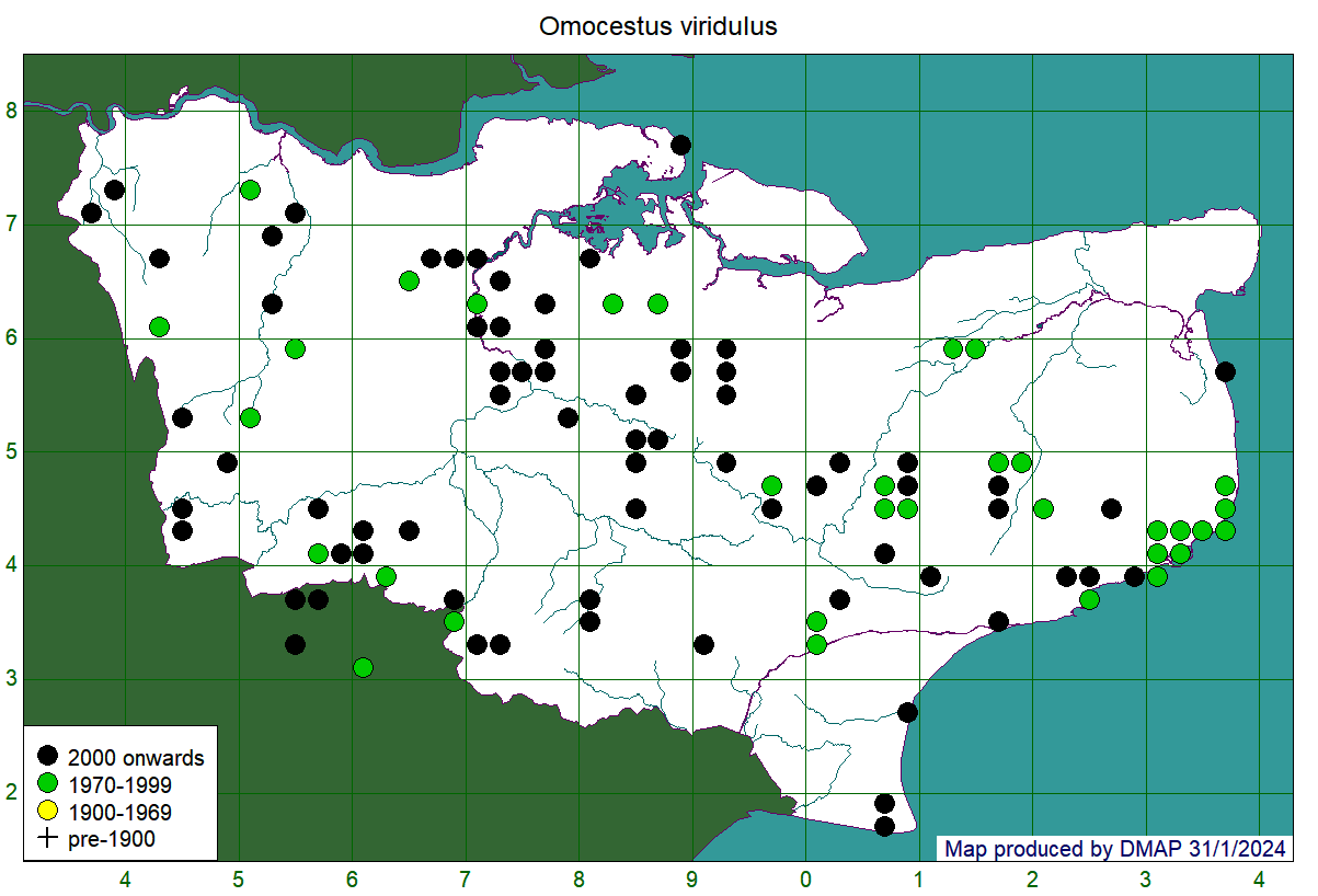
A species found throughout the British Isles, right up to the north of Scotland, but with a somewhat scattered distribution in Kent. It is said to prefer long grass in relatively cool, moist locations, though it can and does occur on chalk grassland on the North Downs. The individual in the photograph above was one of a number found on hot, south-facing downland near Luddesdown in 2022. Nonetheless, the locations of green (pre-2000) dots on the map below suggest possible losses or at least declines on the Downs around Kemsing, Wye and the White Cliffs. The species can look similar to Field Grasshopper and Stripe-winged Grasshopper, but does have a distinctive song like a very small sewing-machine in longish bursts (typically longer than the similar song of the Woodland Grasshopper, with which it may sometimes occur).
Map showing records at tetrad (2km x 2km square) resolution. Colour of dot shows date-class of most recent record for that tetrad.


